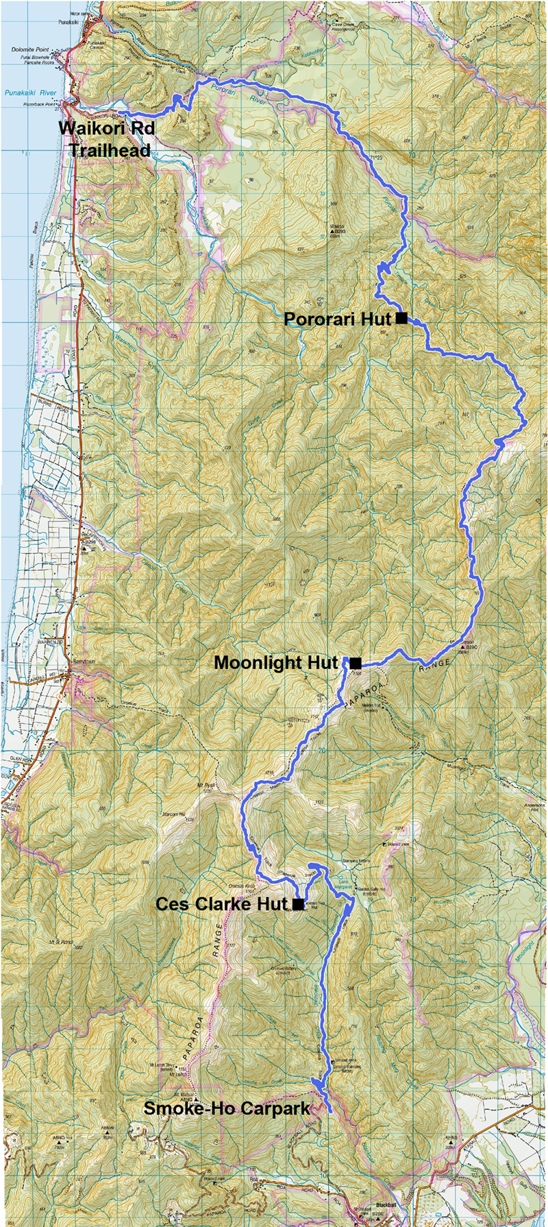
Need to Know
Vehicle shuttles are available through Buller Adventures https://www.bulleradventures.com/vehicle-relocation or Punakaiki Motor Camp https://paparoagreatwalk.co.nz/ who also have a shuttle bus.
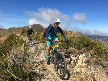
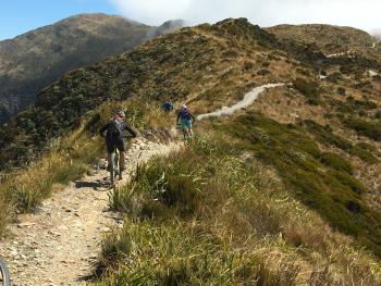
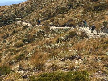
The trail along the ridge tops is very exposed, you should be prepared to encounter changeable weather conditions, including extremely cold temperatures, rain, high winds and possibly snow at any time of the year. After Ces Clarke Hut there is still a considerable amount of climbing as the track climbs and descends along the ridges.
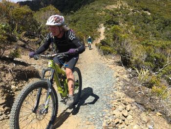
There are steep slopes and generally avoidable obstacles; and track sections that are prone to flooding. Dept of Conservation literature rates the track Grade 4, but as the tread is over a metre wide and the gradient mostly less than 10%, most mountain bikers would rate it Grade 3.
Description
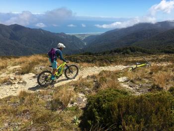
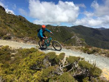
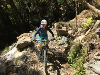
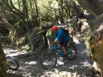
The route follows the Croesus Track, an early miners' route, for the first 14.5 km through beech and podocarp forest before reaching Ces Clark Hut. This part of the track is much rougher than the rest of the Paparoa Track because of its historic nature. Beyond the hut, you pass through alpine scrub and tussock, and you are rewarded with expansive views of Grey River to the east and the Tasman Sea to the west.
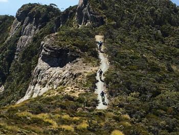
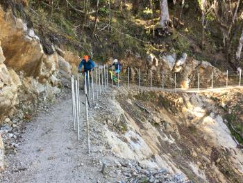
From here you undulate across open tops to Moonlight Hut. Not long after the hut the open tops give way to alpine forest stunted by the harsh environment. The Paparoa Track winds along the top of an escarpment, with steep cliffs and more stunning views. About half-way to Pororari Hut, you descend from the escarpment through ancient podocarp forest. The track then follows the ridge above Tindale Creek to Pororari Hut.
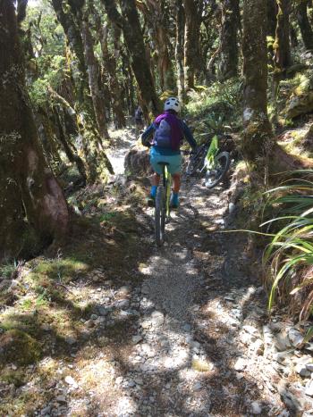
The track then descends and follows the upper Pororari River valley, until it joins an old track built to establish settlement in the upper valley. The track sidles along a spectacular gorge and descends through beech forest interspersed with northern rātā.
At the junction with the historic Inland Pack Track, hikers and mountain bikers diverge: hikers follow the track beside the Pororari River through the lower gorge; mountain bikers must exit into the Punakaiki River Valley, ending at Waikori Road car park a couple of kilometres south of Punakaiki. Both pass through lush rainforest with glades of nīkau palms.
History & Background

 |
 |
 |
 |
 |
 |
 |
 |
 |
 |
 |
 |
 |
 |
 |
 |
 |
 |